|
| *****SWAAG_ID***** | 794 |
| Date Entered | 30/03/2014 |
| Updated on | 30/03/2014 |
| Recorded by | Tim Laurie |
| Category | Burnt Mound |
| Record Type | Archaeology |
| Site Access | Public Access Land |
| Record Date | 01/04/2006 |
| Location | Coverdale. Melmerby Moor. Springs below Brown Knots |
| Civil Parish | Not known |
| Brit. National Grid | SE 056 860 |
| Altitude | 410m |
| Geology | Spring rise below Underset Limestone. |
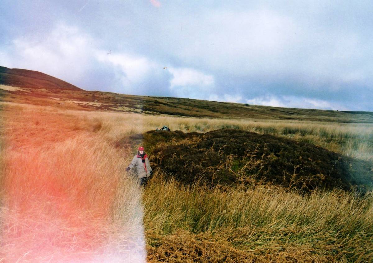
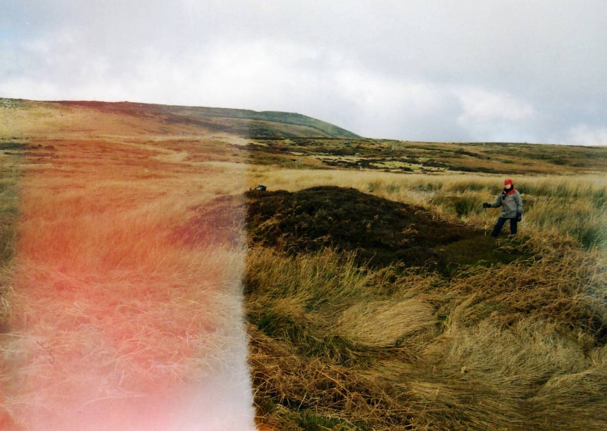
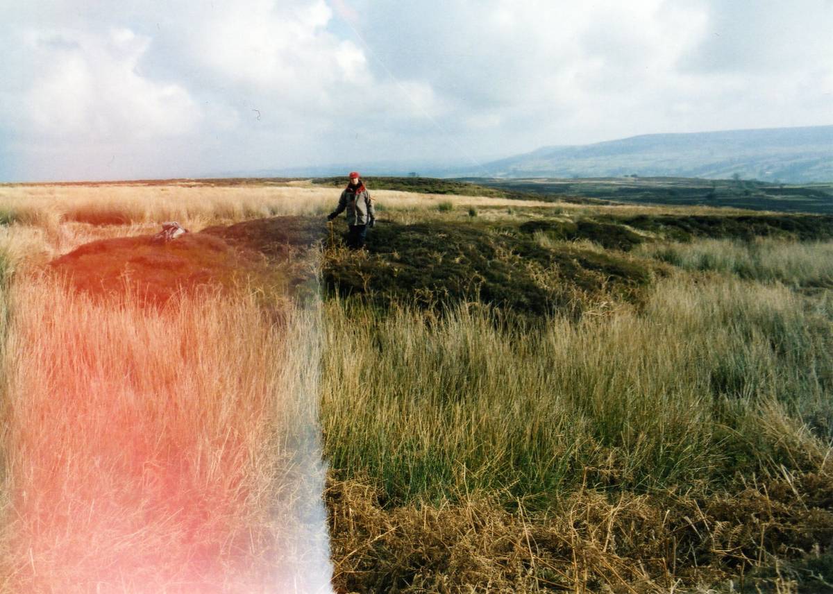
| Record Name | Coverdale. Penhill South Slope. Very large burnt mound at Brown Knots Springs. |
| Record Description | Very large isolated* burnt mound, among the largest of these sites in Wensleydale.
Further visit required to survey the vicinity of this site and to update the site photographs.
*No other prehistoric sites located in the vicinity of this burnt mound except lithic finds below near The Mill Race and other widely spaced burnt mounds at and above 400m on the southern slopes of Penhill.
|
| Dimensions | 18m*10m*2.5m high approx |
| Additional Notes | This burnt mound is one of the largest of these sites in the NE Pennine Dales. The presence of a total of at least five burnt mounds (one site 500m west of Howden Lodge, see SWAAG 54, ne site at Slantgate Well, see SWAAG793 , and two sites some 1.5km to the east at Wraykeld Well, see SWAAG 55 , on the southern slopes of Penhill is of particular interest. |
| Image 1 ID | 5281 Click image to enlarge |
| Image 1 Description | This very large heather covered burnt mound is prominent within brown marsh. |  |
| Image 2 ID | 5280 Click image to enlarge |
| Image 2 Description | | 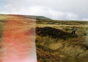 |
| Image 3 ID | 5279 Click image to enlarge |
| Image 3 Description | |  |